
Gorges de la Nesque, near Sault
The gorges de la Nesque is an impressive and wild canyon of around 12 kilometres in length, scoured out by the river at its bottom.
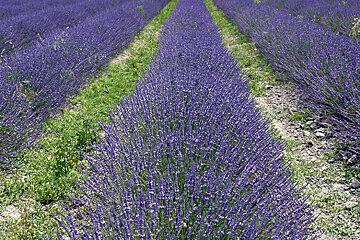
© Robin Deering
Hike through the Lavender fields of Provence
Climbing to over 1800m where you will reach the highlands where crops and lavender are grown. Offering an immense panorama over Sault and the surrounding area.
This walk can be found on IGN map 3240 OT

The gorges de la Nesque is an impressive and wild canyon of around 12 kilometres in length, scoured out by the river at its bottom.

This 80 hectare farm and distillery was originally created in 1978 and now welcomes visitors from around the world.

The lavender collection is certified by French National Conservatory for specialist plant collections, and is located on family land on the Route du Mont Ventoux, near the village.
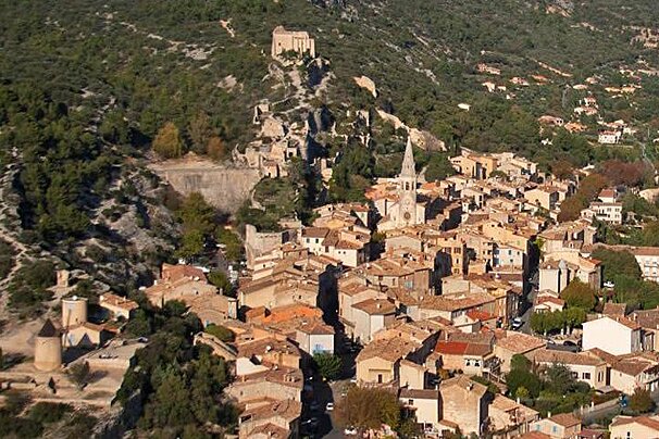
Built on a rocky bluff at 400 metres above sea level is the remains of a Medieval fortress which offers great views of the surrounding Vaucluse and Alpilles mountains.
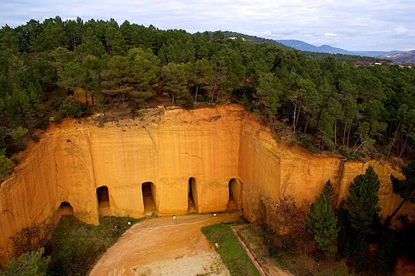
This area is well known for it's ochre pigment found in the soil, and a tour of the Mines de Bruoux show you the underground caverns that were created.

This museum houses a collection of around 250 chandeliers and a large library and collection of photos dedicated to these wonderful pieces of art.
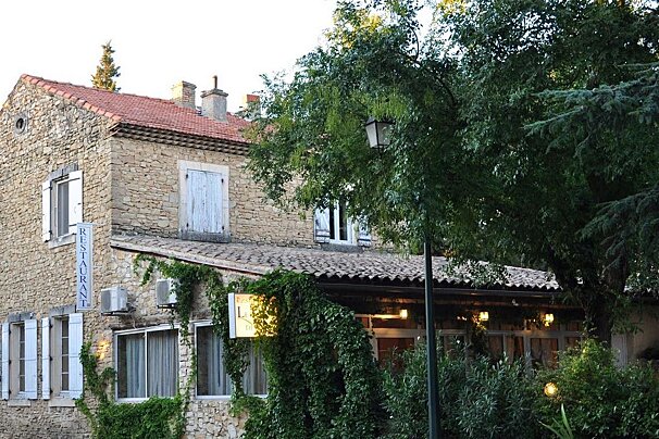
Le Temps de Vivre is situated in the little hamlet of Les Farjons just down the road from Uchaux.

Small restaurant where you will never eat the same thing twice. Their menu is solely based on what good fresh ingredients the local market has to offer in the mornings.

This small restaurant is on the Rue Peyrollerie, a winding alley just off the Place St Pierre. It is a great option for vegetarians, offering a wide variety of cheese dishes and salads but there are also fish dishes available.

Located right in the centre of Avignon on a well known shopping street is La Cour d'Honneur.

This elegant restaurant is a must-visit for any lovers of modern cuisine and cooking methods. They embrace local produce and evolve their dishes according to the seasons.

This wonderful contemporary-styled restaurant features dishes that you may never have suspected to have existed.

This huge waterpark covers an area of 4.7 hectares and includes a surf simulator, waterslides and a river feature called river land.

Aqualand in St Cyr Sur Mer offer you 11 wicked slides in a great park environment with drinks, food, and shops for you to enjoy.

Waterpark complex that contains a lagoon, 25m pool, whirlpool basin, waterslides for children and adults, cascades of water, rivers, paddling pools and much more.

This is probably the most family orientated waterpark on the Cote d'Azur. With several friendly slides, a fun pool, food and drinks, ice creams, and shopping all at hand.
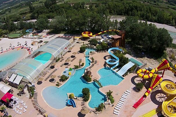
In the depths of the Drôme countryside in the French Provence, this 5 Star Residential Campsite comes complete with an entirely heated Aquatic Complex, which is open to the public.
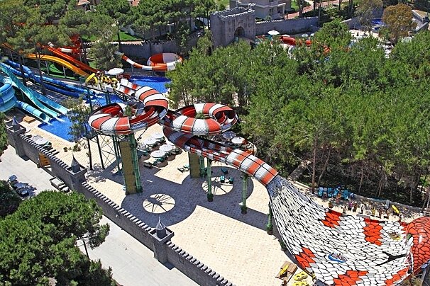
With numerous slides, including the King Cobra - unique is western Europe - this is the largest waterpark on the Cote d'Azur! Inludes a rest area, show area, clockroom, fast food, grill and pizzeria, ice creams, drinks, and shop.
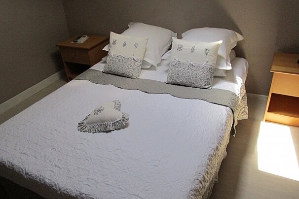
Located in a charming small village, with free parking and bike storage.

This fortified farmhouse has been converted into a lovely B&B not far from Bedoin village centre.

Perched on a small cliff, this B&B enjoys great views of the village of Sault below.
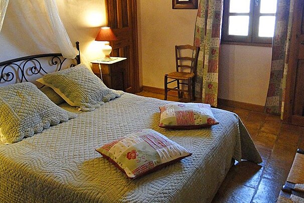
This B&B has unbroken views of the mighty Mont Ventoux and is decorated with a charming mix of old and new fixtures and fittings.

Set in a renovated farmhouse surrounded by vineyards and olive trees, the hotel has 16 bedrooms with a choice between queen-size or twin beds.

Located a 5-minute walk from the heart of Bonnieux, this charming guest house features 3 comfortable rooms suitable for families as every room has a mezzanine for 2 children.
Head south from the hamlet of Saint-Jean-de-Durefort just south of Sault. Leaving the hamlet on the D230 turn towards the hamlet of Jas, then after 100m take the left on the grassy path lined with trees. 300m along this path you will reach a curve, go to the right on the path that goes up the Combe-Crau ravine. When the trail starts to swing to the right, stay in the same direction on the path which gets narrower. The path becomes very shady then reaches an intersection.At the intersection take the road to the right for 200m then take the road to the left, in the direction of Champ-Long.
Follow the path to the north and walk among the fields of fodder, cereals and lavender. From here you can see Mont Ventoux and the Albion plateau.
Continue straight past the La Peine farm swinging slightly to the left. Leave the path to the right and continue straight along past the La Tour farm on your left. At the fork keep a south west direction following the path in the middle of the grass. After a flat period you will start to head downhill back towards your starting point in the hamlet of Saint-Jean.
Find out all about what is happening in Provence and how to make the most of your time here. The latest news, reviews of fun activities, current events and the trendiest restaurants, as well as interviews with leading locals, insider's guides and our top choices for things to do, see and experience in this picturesque French region.
See allLatest News & ReviewsProvence has a busy calendar of events all year round featuring art exhibitions, charming markets, cultural festivals and concerts. Spring and autumn are the time to celebrate local produce while during the peak holiday times, in the summer months, you will find world-renowned music and cultural events like the Choregies d'Orange or the Avignon Festival.
See allUpcoming Events